Our Central Oregon Services
Boundary surveys, drone mapping, consulting, and rapid response across Deschutes, Crook, and Jefferson counties.
Comprehensive Land Surveying Services
Whether you need to confirm your property lines, map a construction site, or resolve a boundary dispute, our licensed professional surveyors have the tools and the experience to get it done right. We have served Central Oregon homeowners, developers, attorneys, and government agencies since 1927.
Land Surveying
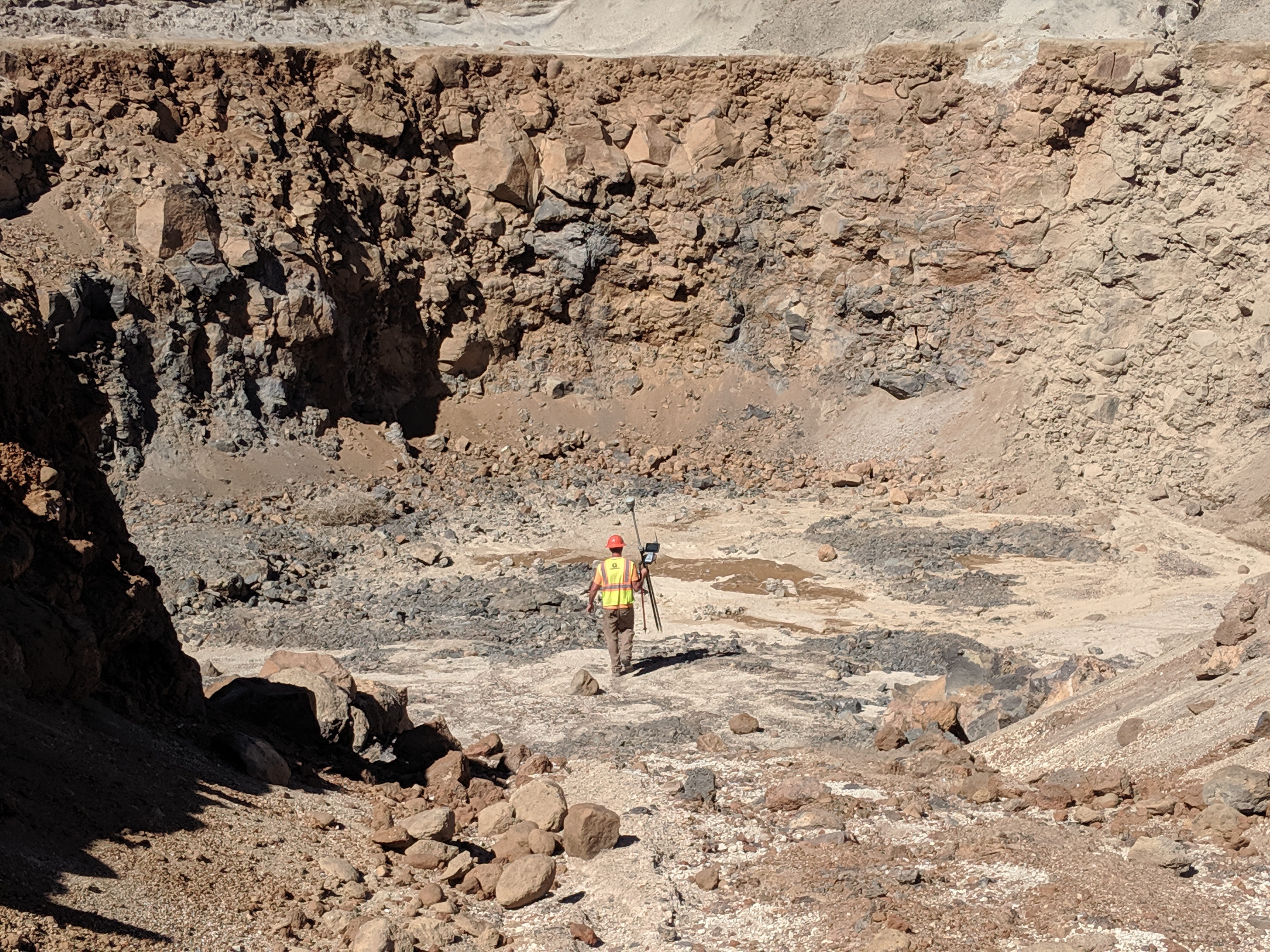
Our core service includes boundary surveys, topographic surveys, ALTA/NSPS surveys, and more. We use state-of-the-art Trimble R10 GPS and Robotic Total Station equipment for precision and accuracy.
Our Land Surveying Services Include:
- Boundary Surveys
- Topographic Surveys
- ALTA/NSPS Surveys
- Right-of-Way Determination
- Encroachment Resolution
- Adverse Possession Mediation
Whether you're a homeowner needing property boundaries established or a developer requiring detailed site surveys, our experienced team delivers accurate results you can trust.
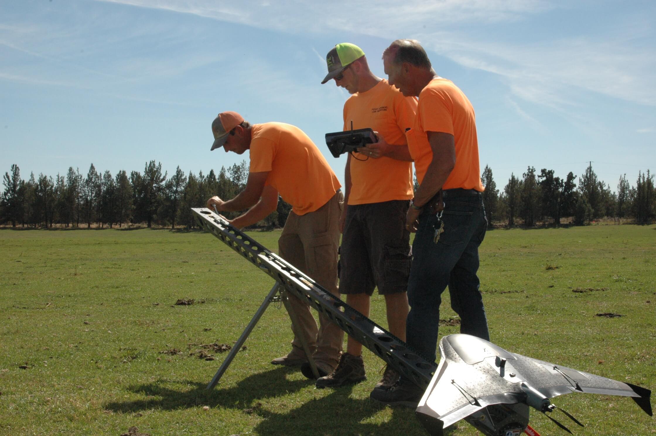
Drone Services
Our FAA certified pilots use advanced WingtraOne Mapping Drone technology for high-accuracy aerial imaging and data collection, providing efficient solutions for various sectors.
Applications Include:
- Aerial Mapping
- Volumetric Calculations
- Construction Monitoring
- Agricultural Assessment
- Real Estate Photography
- Infrastructure Inspection
Drone technology allows us to survey large areas quickly and safely, providing detailed aerial data that complements traditional surveying methods.
Consulting & Mediation
With our century of experience, we provide expert consulting services for complex surveying issues, including boundary disputes, expert witness testimony, and mediation services.
Consulting Services Include:
- Surveying Evidence and Procedures
- Mediation Services
- Expert Witness Services
- Boundary Dispute Resolution
- Boundary Line Agreements
Our expertise in surveying evidence and procedures makes us a trusted resource for legal professionals and property owners dealing with complex boundary issues.
Rapid Response
Same-day surveying response in the tri-county area. When your project cannot wait, neither do we. Bids and reports delivered within 24 hours.
When You Need Us:
- Construction crew standing idle waiting on a survey
- Real estate closing at risk of falling through
- Boundary dispute escalating between neighbors
Call (541) 548-6778 for same-day dispatch in Deschutes, Crook, and Jefferson counties.
Sectors We Serve
From residential property lines to large-scale infrastructure projects, we deliver surveying solutions tailored to your industry.
Residential
Boundary surveys, fence line verification, and encroachment resolution for homeowners across Bend, Redmond, and Central Oregon communities.
Commercial
ALTA/NSPS and site surveys for commercial developments, retail centers, and mixed-use projects throughout Deschutes County.
Construction
Construction staking, as-built surveys, and volume calculations that keep your project on schedule and on budget.
Agriculture
Irrigation mapping, water rights surveys, and drone assessments for farms and ranches across Jefferson and Crook counties.
Municipal & Government
Public works surveys, infrastructure planning, and compliance projects for Central Oregon cities and counties.
Energy
Utility corridor surveys, solar and wind site assessments, and pipeline route mapping for Central Oregon energy projects.
No matter your industry, we bring the same commitment to accuracy that has kept our clients coming back since 1927.
Not Sure Which Service You Need?
Tell us about your project and we will recommend the right approach. Consultations are always free.
Get a Free Quote